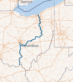
Ohio & Erie Canal at Roscoe Village · The waterway that remade a frontier state
In the Archive · 1825 to 1913
The Ohio & Erie Canal was the single most transformative piece of infrastructure in 19th-century Cleveland. In the decade after its completion in 1832, the population of Cleveland rose sixfold. The frontier village became a port. The port became an industrial city. The canal did that.
In 1820, Cleveland was a village of 606 people clinging to a malarial bluff above the Cuyahoga's mouth. The Western Reserve around it had barely 34,000 residents, most farming at subsistence level. Grain rotted in Ohio barns that could not economically reach eastern markets. Salt, cotton, and manufactured goods from the Atlantic coast arrived only after weeks of overland haulage at costs that put them out of reach for ordinary settlers. The Ohio interior was rich in soil and desperately poor in access to market.
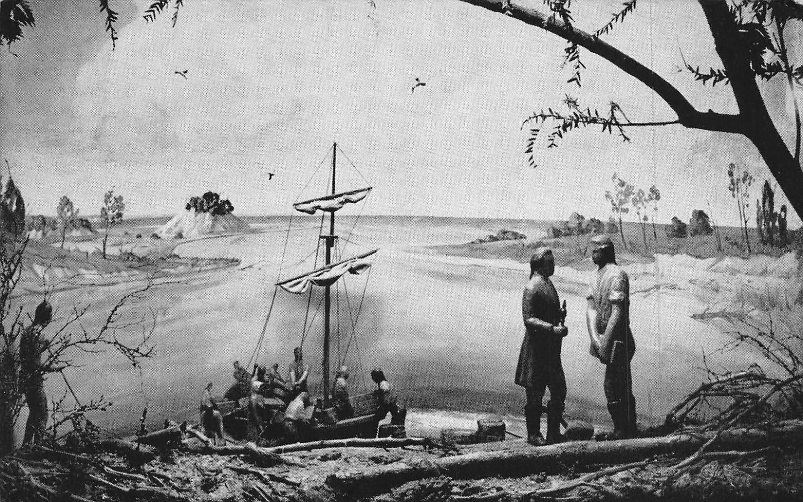
The Erie Canal, opened in New York in 1825, transformed that state overnight. Ohio's leaders watched the revenues pour into Albany and moved quickly to replicate the model. Governor Ethan Allen Brown and state engineer Alfred Kelley (who had also served as Cleveland's first village president a decade earlier) pushed the legislature to authorize a canal linking Lake Erie to the Ohio River. In February 1825, the state approved construction. The surveyors chose the Cuyahoga valley as the northern corridor, and Cleveland as the northern terminus, over the competing claim of Sandusky.
Ground was broken on July 4, 1825, at Licking Summit near Newark, Ohio, with former DeWitt Clinton (governor of New York and patron of the Erie Canal) present to turn the first spade. The canal was built by Irish and German immigrant labor at wages of about thirty cents a day, plus a "jigger" of whiskey. Construction proceeded north and south simultaneously from the summit.
The engineering was formidable. The canal had to rise from Lake Erie (elevation 571 feet) to the Portage Summit at Akron (elevation 973 feet), a climb of 402 feet accomplished by forty-one lift locks in the first 38 miles. It then descended through another 105 locks to the Ohio River at Portsmouth (elevation 500 feet). Each lock was a timber-and-stone chamber ninety feet long and fifteen feet wide, sized to the "canal boat" standard that would dominate Great Lakes commerce for decades.
The Cleveland-to-Akron section, the first to open, was completed in 1827 and immediately began carrying freight. The full line to Portsmouth was finished in 1832, seven years after groundbreaking and at a final cost of roughly $4.3 million. In an era before federal infrastructure spending, it was financed almost entirely by state bonds, which the canal's revenue would later repay in full.

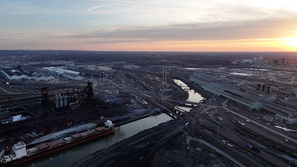
The effect on Cleveland was immediate and overwhelming. In 1830, two years before the full canal opened, the city's population was 1,076. By 1840 it had passed 6,000. By 1850 it had surpassed 17,000. Every one of those new arrivals was drawn, directly or indirectly, by the canal: merchants establishing warehouses at the Cuyahoga's mouth, shipwrights building the lake freighters that carried canal grain east to Buffalo, manufacturers siting foundries and mills along the canal corridor in the Flats.
The Ohio interior, once inaccessible, became one of the richest agricultural regions in America. Wheat, corn, pork, whiskey, and wool moved north by canal boat to Cleveland, where they were transferred to lake schooners and steamers bound for Buffalo, Oswego, and New York. Manufactured goods, salt, and coffee came back the other way. The tolls Cleveland collected at the canal's northern terminus in 1845 alone exceeded $170,000 — many times the annual budget of the city government.
By 1860, Cleveland's population had reached 43,417. The city was no longer a frontier outpost but a significant industrial and commercial center of the Great Lakes. That transformation was the canal's doing.
The canal's supremacy was surprisingly brief. The first railroad reached Cleveland in 1851 (the Cleveland, Columbus and Cincinnati line). By 1860, rail lines had proliferated across Ohio, carrying goods faster, year-round, and over the same corridors the canal had pioneered. Canal boats moved at four miles per hour and froze solid from December through March; trains moved at forty miles per hour in any weather. Once the comparison was made, the canal could not compete.
Commercial traffic on the Ohio & Erie peaked around 1855 and declined steadily through the rest of the century. The state leased canal operations to private operators in 1861 and finally abandoned most of the system by the early 1900s. The line remained in sporadic use (especially for recreation and local hauling) but the 1913 flood (the catastrophic spring storm that devastated Dayton, Columbus, and every river valley in Ohio) destroyed canal locks, towpaths, and aqueducts beyond any practical hope of repair. The Ohio & Erie Canal's working life had ended.
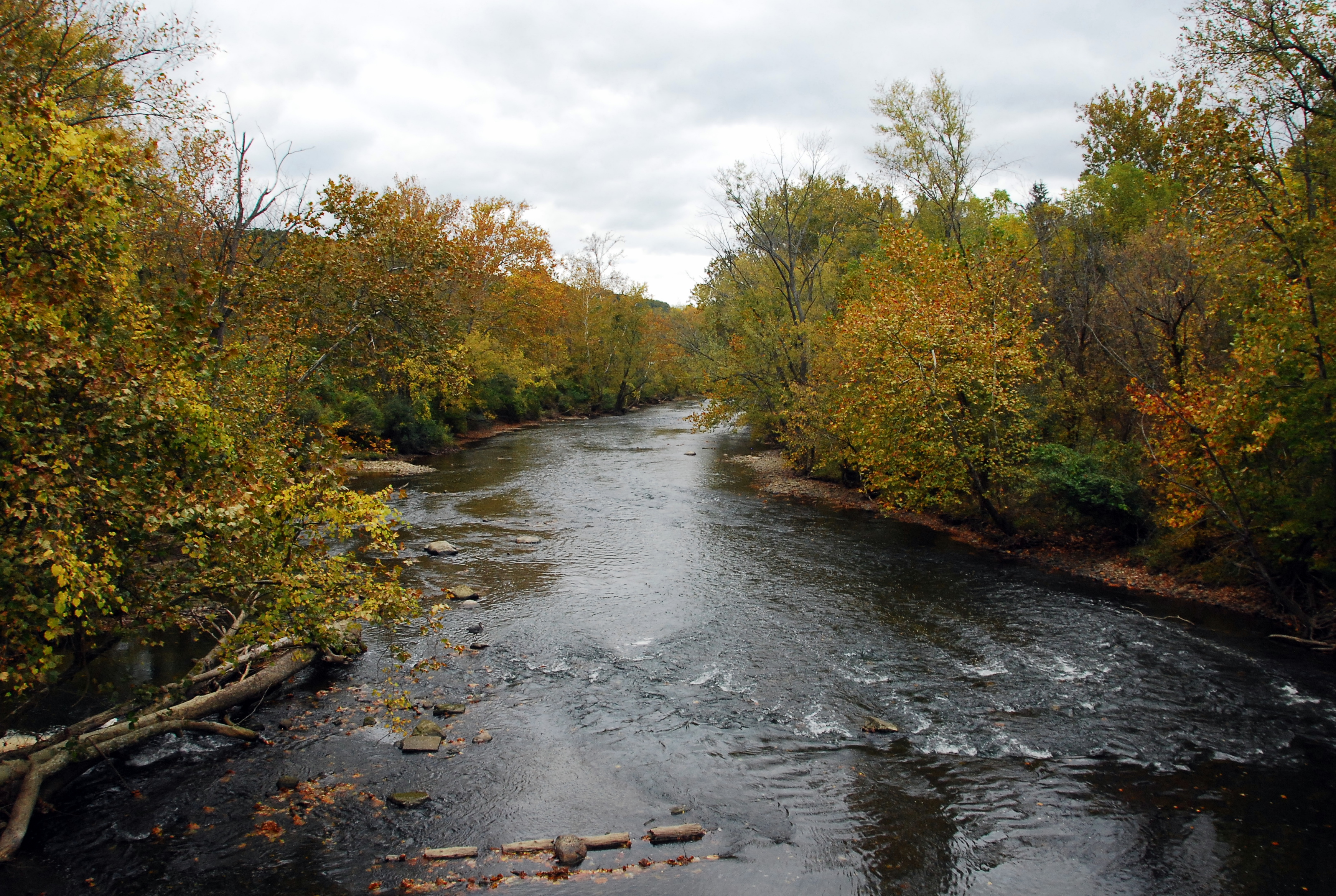
The corridor the canal cut through the Cuyahoga Valley did not disappear. In 1974, Congress established the Cuyahoga Valley National Recreation Area along 33,000 acres of the old canal right-of-way between Cleveland and Akron; in 2000 it was upgraded to a National Park. The towpath (the packed-earth trail where mule teams once pulled canal boats) has been restored as a continuous 87-mile recreational path that runs from downtown Cleveland south through the park and continues toward New Philadelphia.
Stretches of the original canal bed remain watered: at Zoar, at Roscoe Village, at the lock restorations of the Canalway, visitors can see exactly what the canal looked like in operation. The canal's most lasting legacy, however, is not physical. It is that Cleveland exists at the scale and in the shape it took — as a Great Lakes commercial port, as a corridor city, as the confluence of a river valley and a lake shore. That geography is the canal's work, and it has outlasted every mile of towpath.

The Archive
Every street, every fire, every forgotten face. The stories that don't make the headlines are often the ones worth keeping.