Downtown Cleveland from the air, 1937. NARA
Chapter One · 1796
Moses Cleaveland and the River's Mouth
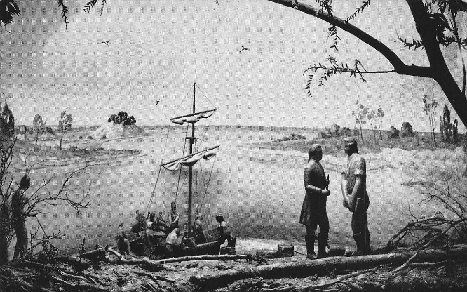
On July 22, 1796, General Moses Cleaveland of the Connecticut Land Company stepped ashore at the mouth of the Cuyahoga River and chose it as the site of the capital of the Western Reserve. The decision was deliberate: the river offered a natural harbor on Lake Erie, a corridor deep into the interior, and high ground on the east bluff perfectly suited for a city grid.
Cleaveland stayed only a few months, but his surveyors platted a town at the river's edge. For decades it remained a malarial frontier settlement; the swampy river mouth made it inhospitable in summer, and early inhabitants died at alarming rates from fever. But the geography was undeniable. A river that connected the Great Lakes to the vast Ohio River system was worth any hardship, and the town eventually outlasted its difficult beginnings.
The name lost a letter to a newspaper headline sometime in the 1830s. The Cleveland Advertiser reportedly dropped the "a" to fit the masthead. Cleveland was born.
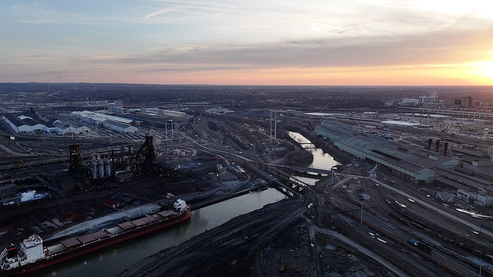
 The lower Cuyahoga and the Flats, gateway to the lake
Chapter Two · 1820s–Present
The Old River Mouth, Dry Docks, and Great Lakes Towing
The original mouth of the Cuyahoga was a sandspit-choked, shallow outlet that plagued early commerce. Beginning in the 1820s, the Army Corps of Engineers undertook a decades-long campaign to deepen, straighten, and stabilize it, dredging a reliable channel and constructing the stone entrance piers that still frame the river's entrance into Lake Erie today.
As the channel was improved, the reclaimed land at the old river mouth was put to industrial purpose. Dry docks (enclosed basins where Great Lakes ore boats and freighters could be hauled out for repair) became a cornerstone of the Flats economy. The concentration of shipbuilding and repair infrastructure here, within yards of open water, made the lower Cuyahoga one of the most important maritime yards on the inland seas.
That heritage endures. The Great Lakes Towing Company, founded in 1899 and still operating today, maintains its harbor tug fleet along the same stretch of the lower Cuyahoga where the early dry docks stood. Its distinctive red-and-black tugs work the river regularly, moving freighters in and out of Cleveland's harbor, making it one of the last unbroken threads connecting the modern waterfront to the nineteenth-century port.
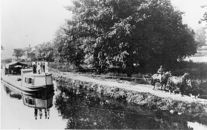
The Canal Connection → The Ohio & Erie Canal at Roscoe Village, the waterway that remade Ohio
Chapter Three · 1825–1913
The Ohio & Erie Canal: Water Road to the World
When the Ohio & Erie Canal was completed in 1832, it connected Cleveland's Cuyahoga harbor to the Ohio River at Portsmouth via 308 miles of hand-dug waterway that followed the Cuyahoga valley for much of its northern route. Groundbreaking had taken place at Licking Summit on July 4, 1825; the Cleveland-to-Akron section opened in 1827; the full line to Portsmouth was finished five years later. Flatboats laden with wheat, pork, and whiskey descended to Cleveland and out onto the lake. Manufactured goods came back the other way. The river's valley was the canal's corridor, and without it the route would have been far more costly to cut.
The effect on Cleveland was extraordinary. In 1820 the city's population was barely 600. By 1850 it had surpassed 17,000. The Cuyahoga's mouth became Ohio's most commercially active port, a place where the grain of the interior met the industrial ambitions of the lake cities.
The canal's towpath, where mule teams walked to pull the boats, survives today as the Towpath Trail, running 87 miles through the Cuyahoga Valley. It is one of the most significant recreational corridors in the Midwest and one of the best ways to understand the geography that made Cleveland possible. The railroads rendered the canal obsolete by the 1880s, but the valley it carved, and the trail it left behind, remain.
Explore the Ohio & Erie Canal Archive → Cleveland's Flats steel industry, the river as industrial engine
Chapter Four · 1860s–1960s
The River as Industrial Engine
By the 1870s, the Cuyahoga's lower valley (the Flats) had become one of the most intensely industrialized river corridors on earth. Iron ore arrived from the Upper Great Lakes by freighter; Appalachian coal came north by rail. The river itself was a working road: ore boats and bulk carriers worked the channel constantly, and the famous Cuyahoga swing bridges pivoted dozens of times a day to let them through.
John D. Rockefeller refined his first oil at a Cleveland refinery served by the Cuyahoga corridor. Republic Steel, the American Ship Building Company, and scores of chemical plants crowded the banks. The river powered the city's ambitions and absorbed, without regulation, every byproduct of that industry. The ecological cost was absolute: by the 1950s, below the mills the river carried almost no dissolved oxygen, ran thick with petroleum and chemical sludge, and had been fishless for a generation.